Ertach Kernow - Glynn Valley engineering feats
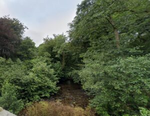
The Glynn Valley must have been a very beautiful place long before the hand of man intervened with the River Fowey, which rises on Bodmin Moor, running along much of its length. Hunter gathering communities would have passed through and later peoples settled here during the Bronze and Iron Ages. The River Fowey and its tributary streams were likely used in the early days of tin extraction through tin streaming. Later a hillfort would be constructed followed by farmsteads and houses then a roadway and railway line with its viaducts and a station at Bodmin Parkway. Now perhaps it’s best known for the crematorium and where shoppers now gather in great numbers at Trago Mills.
As always click the images for larger view
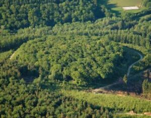
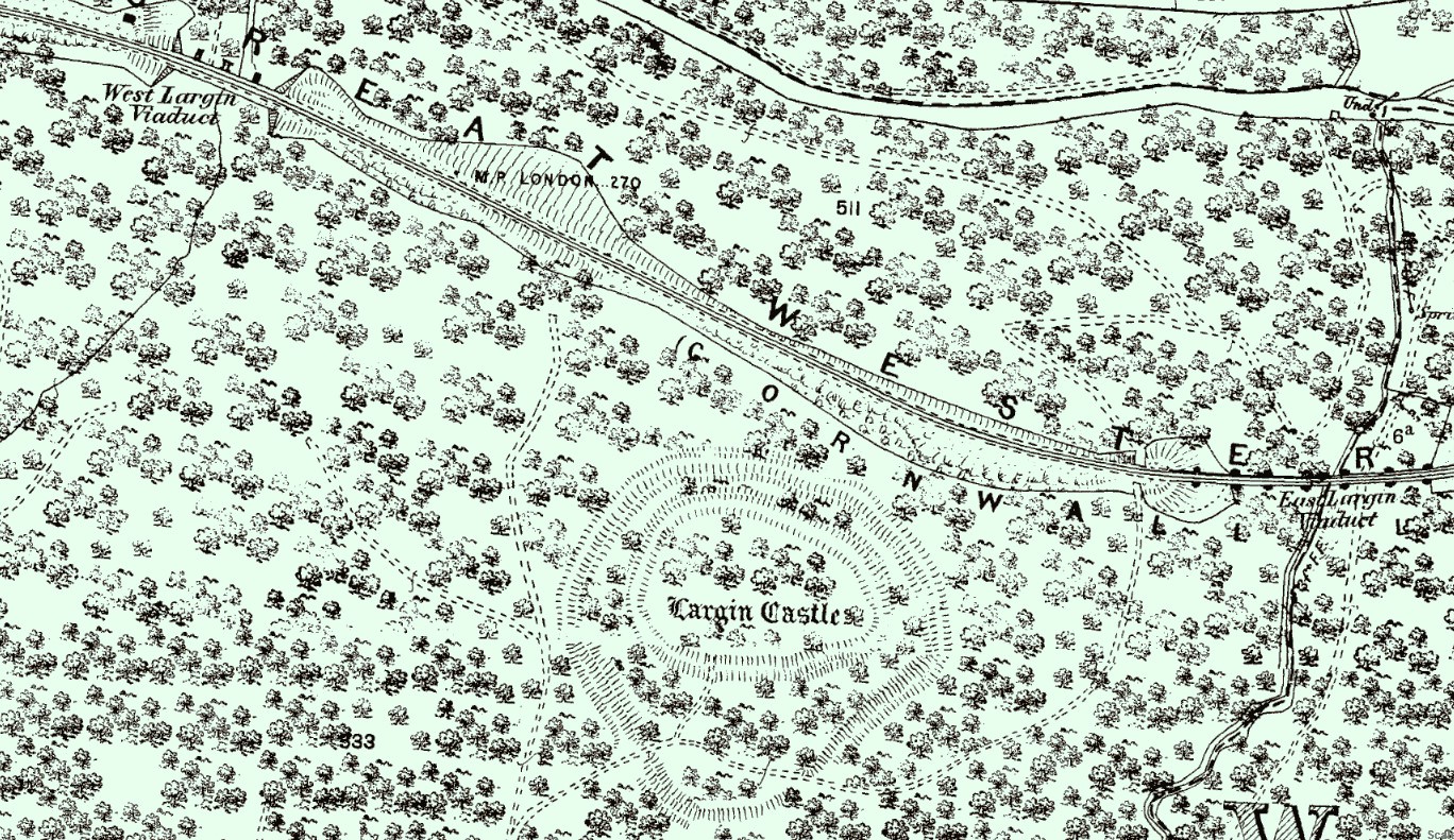
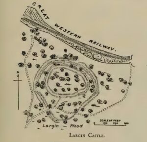
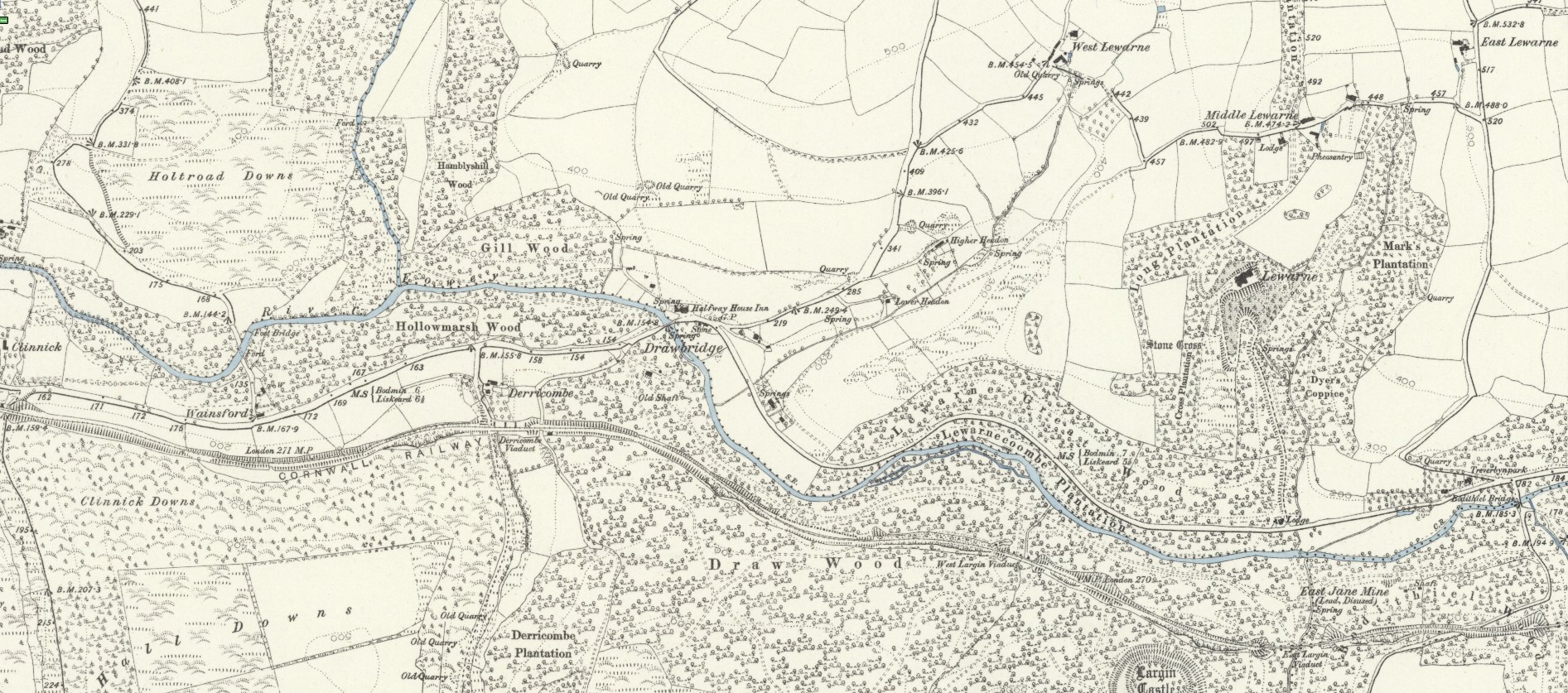
Largin Castle is a lesser-known contour hillfort located on the spur of a steep sided hill in amongst the woods above the valley. The hillfort is about 270 feet above the river valley and due to its ancient construction during the Iron Age is now overgrown by oak woodland surrounded by more recent conifer planting. Largin Castle covers an area of 4.4 acres and is classified as a multivallate hillfort, with dependent inner enclosures and two outer cross bank enclosures. Some points of the ramparts are over 3 metres high from the ditch bottom and provides some idea of the strength of this fortification when built somewhere around 2,500 years ago. Although it has only recently been listed as a scheduled monument in June 2020 it was known by map makers for the past two hundred years. Not noted on earlier maps it was included on the first Ordnance Survey by Colonel Mudge about 1813 and later faintly outlined, but likely not investigated, on the Braddock Parish tithe map of 1837. However, a closer survey must have taken place later as it is far more clearly mapped in the 1888 Ordnance Survey map and recorded in the Victoria History of Cornwall in 1906. There are some other additional earthworks of a similar age nearby. The railway line passes very close with the hillfort located on the righthand side of the track travelling east, between the West Largin and East Largin Viaducts.
The A38 snaking through the Glynn Valley is part of Cornwall’s contribution to what was once called the longest country lane in England, which it joins at Plymouth. It is the second longest ‘A Road’ in the UK only beaten by the A1. Road classification had begun in 1922 and on 1st April 1935 the first and only full road revision to the British road numbering system took place the A389 becoming the A38. The A389 / A38 had originally run to the Torpoint Ferry but following the completion of the Tamar Road Bridge in 1961 numbers were swapped the A38 now being the busier and more important road to the bridge. Originally the road had begun as a simple trackway but gradually to make improvements to Cornwall’s terrible road system led to parts of this track being adopted by three turnpike trusts. The western part being the Bodmin Turnpike Trust created in 1769 a centre section by the St Austell – Lostwithiel Turnpike Trust (1761) and the eastern portion by the Liskeard Turnpike Trust (1761). Railway’s eventually saw off the profitability of turnpike roads and these were later adopted by local authorities and parishes, and in 1888 by Cornwall Council. Turnpikes still exist in other forms, usually as toll-bridges such as for crossing the Tamar Road Bridge from Cornwall to England, this is owned jointly by Cornwall Council and Plymouth City Council.
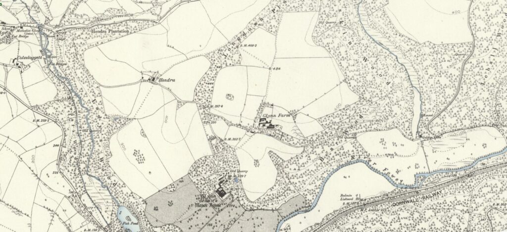
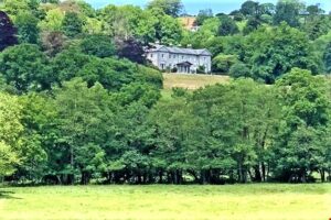
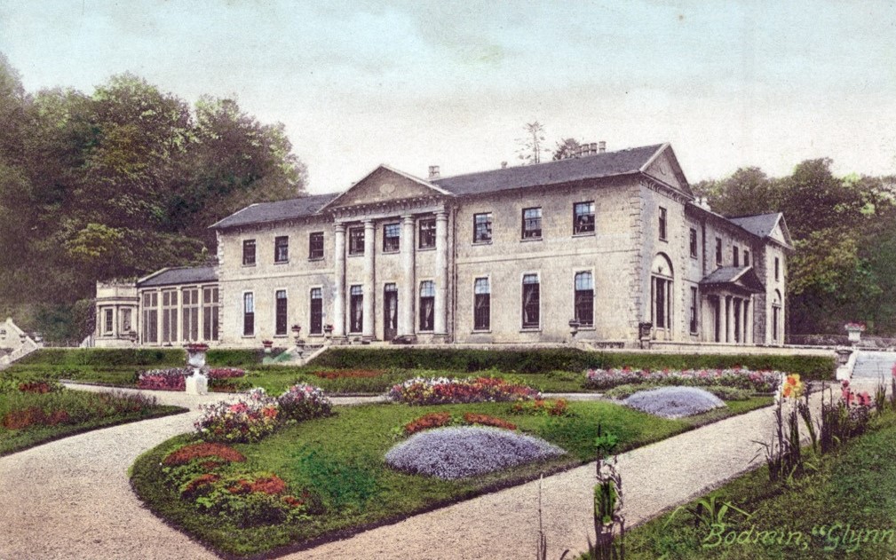
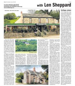
Vehicle passengers may have noticed a large mansion, Glynn House, nestling amongst trees above the valley, hopefully drivers are keeping their eyes on this notoriously dangerous road. The land and original house was owned from the 13th century by the Glynn family and later rebuilt in 1805 by Edmund John Glynn, High Sheriff of Cornwall. Sadly, for the family his business ventures were less than successful and following a fire in 1819 the Glynn House estate was sold. In 1834 the estate was purchased by Sir Richard Hussey Vivian, whose son was standing for the Bodmin parliamentary seat. All was not lost for Edmund Glynn’s family, albeit he died in obscurity in London in 1840, his daughter Frances had married well, to Charles Prideaux-Brune of Place in Padstow and their son Mr. Charles Glynn Prideaux-Brune inherited that estate. The fact that Sir Richard Hussey Vivian, later Lord Vivian, whose son Lord Charles Vivian owned the estate during the period when the railway was being planned and constructed was for some unfortunate, as he was not wholly supportive. The house is now a Grade II* listed building and was recently sold for around £3.5 million.
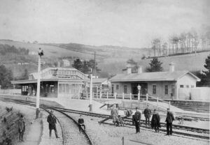
The railway line that passes through the Glynn Valley originated in the early 1850’s under the direction of the famous Victorian engineer, Isambard Kingdom Brunel. This was built and operated by the Cornwall Railway Company. In 1853 Brunel reported to the directors that the plans for the ‘Saltash Bridge’ were continuing and further comments about other parts of the Cornwall line. Regarding the Glynn Valley he advised them that ‘By an arrangement which had been completed with Lord Vivian and improvement will be effected in the line through the Glynn Valley. During the negotiations of this arrangement, the setting out of this part of the line was necessarily suspended.’ There were later issues regarding the construction of a railway station and Lord Charles Vivian publicly defended himself in a letter addressed to Thomas James Agar-Robartes MP and published in various newspapers. Vivian would not allow a public railway station to be constructed on his land and this added to the initial issues of having a railway line in sight of his property at Glynn House, he was publicly accused of having a grasping spirit. Ultimately the railway station, which became Bodmin Road Station, was sited on land nearer the Lanhydrock estate where Agar-Robartes was a great supporter of the railway. Plans at that point to extend the railway line to Bodmin and create a station there were some time off due to financial pressures on the company. Bodmin Road Station is now known as Bodmin Parkway following 20th century modernisation.
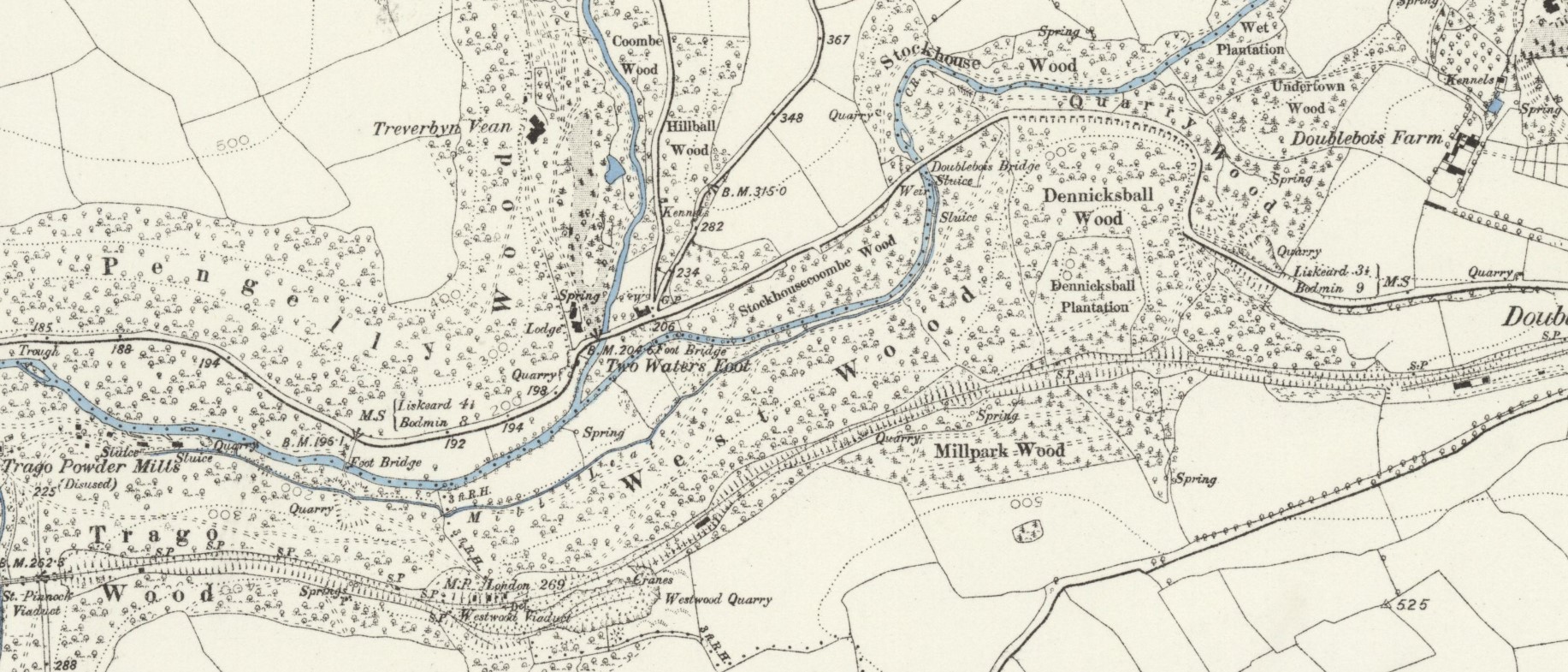
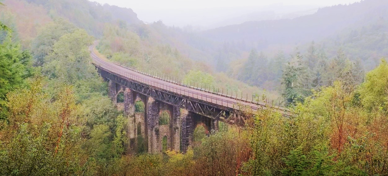
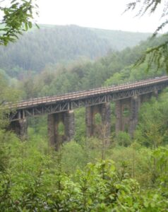
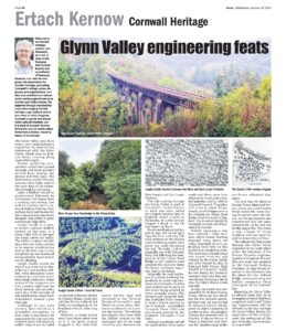
Besides any issues that were caused to construction by Lord Vivian there were also the difficulties here, as elsewhere in Cornwall, of deep valleys and rivers to cross. To contain initial costs and to expediate the construction of the line Brunel had designed eight different timber viaducts to be built as appropriate for the particular crossing required. After leaving Bodmin and from the start of the Glynn Valley to Doublebois there were eight viaducts required, including two already mentioned the West and East Largin Viaducts. These would be replaced starting in the 1870’s with stronger stone-built viaducts, better able to carry heavier steam trains, goods and larger numbers of passengers as well as requiring less maintenance. From Bodmin travelling east the Penadlake Viaduct was replaced by stone in 1877, Clinnick Viaduct replaced 1879 and the Derrycombe Viaduct in 1881. The Draw Wood viaduct originally on 17 dwarf piers was replaced in 1875 by an embankment and stone retaining wall in 1875. The West Largin Viaduct was the first to be replaced in stone in 1875, while the East Largin Viaduct had its eight existing stone piers raised upwards in stone in 1886 and replacing the timber with iron girders rather than a full rebuild. The same type of alterations were made to the nine piers of the St Pinnock Viaduct in 1882, this structure is the tallest viaduct on the Cornish railway. Finally, before reaching Doublebois the Westward Viaduct was replaced in stone and completed in December 1879. Five of these viaducts were Grade II listed in 1985.
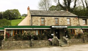
Besides the main A38 taking traffic to and from Plymouth this road is also a main artery allowing access roads to the numerous small villages and hamlets spread out across mid and east Cornwall and the Rame peninsula. Other buildings have grown up along the route including a timberworks. Trago Mills grew from an original site in 1960 with sheds, to the current building designed in 1978 by Charles Hunt of St Neot. The Halfway House Inn at Drawbridge seems to have been built during the 19th century and is shown on the 1888 Ordnance Survey Map. This medieval settlement was mentioned in 1502 named ‘Draabrygge’, sadly the 15th century three arched bridge is long gone. However, there are a number of other medieval sites recorded along the roadway and a bridge further west just off the A38 named ‘Newbridge’ is actually a 15th century bridge mentioned by John Leland in 1535. This is now so much altered and is virtually unrecognisable as a historic structure. Bodithiel Bridge another medieval bridge also mentioned by Leland who called it Lergin Bridge in 1538. This is suggestive of a name relationship with the nearby hillfort. Further to the extremes of the valley there are numerous prehistoric and early medieval sites showing the Glynn Valley to have been heavily used by man over the past four thousand years.
Although these days the A30 with all its vast improvements over recent years is for many the best choice for leaving or entering Cornwall, the A38 remains the major route to Plymouth and south Devon. Folk taking the train will pass over numerous viaducts including eight along the Glynn Valley. Rail users during the late 19th century would comment on the beautiful views over the valley and hopefully today passengers will take their eyes off their mobile phone or book and appreciate not just the sights, but the engineering work undertaken to provide transport links. No doubt further much needed improvements to the A38 will continue, but hopefully not to the ruination of the natural environment.
![[188] Ertach Kernow Heritage Column - 31st January 2024 - Federation of Old Cornwall Societies Ertach Kernow Heritage Column - 31st January 2024 - Federation of Old Cornwall Societies Survey](https://www.cornwallheritage.com/wp-content/uploads/2024/01/188-Ertach-Kernow-Heritage-Column-31st-January-2024-Federation-of-Old-Cornwall-Societies-292x300.jpg)