Ertach Kernow - Spreading wings to Liskeard, Looe, Redruth, Camborne & Pool
This week we welcome two more community newspapers to the growing Voice newspaper family covering more of Cornwall. Caradon Voice covering Liskeard and Looe and surrounding areas and Heartland Voice sharing news from Camborne, Poole , Redruth and district. With Cornish heritage in mind this is a wonderful opportunity to share Cornwall’s history, culture and environmental topics even further afield, encouraging more local folk to spread their wings and visit other parts of our Cornish nation.
Although Cornwall is not large it has a huge range of settlements all growing differently due to a variety of geography, geology and environmental conditions. Coastal areas will have been major contributors to Cornwall’s early importance as fishing communities, the period from medieval times to the late 19th century being especially significant. Other towns became established and grew due to their position and early establishment as farming and market towns. With mining evolving from tin streaming and shallow surface mines, due to the industrialisation of the mining and smelting processes, smaller established settlements grew where mining was the main source of employment. In the growing of these settlements smaller hamlets and villages became engulfed and became parts of a larger town. This can often be seen where many town districts have their own area name that harken back to earlier times.
Today is an opportunity to introduce and provide an overview of the early origins of the towns that have been added to the family of towns and areas being covered by Voice newspapers. All of their origins are somewhat different and their beginnings sometimes many centuries apart.
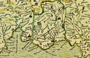
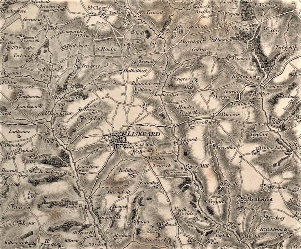
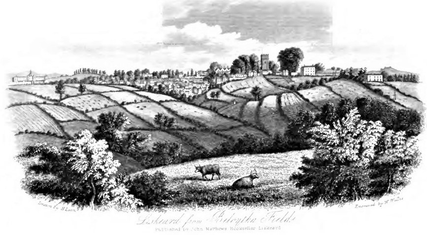
Beginning in the east of Cornwall Liskeard is one of the most historic Cornish towns with its origins stretching back to before the time of Domesday. Named as Liscarret in the 1086 Domesday Book and held by Robert of Mortain as Earl of Cornwall, half-brother to William I, it was valued at £25 18s 2d. At the time of the conquest, it had been held by the Merleswein the sheriff with a value of £8 and had obviously increased in value considerably. By the time of Richard Earl of Cornwall, brother of Henry III it had gained such importance and worth within the earldom that Richard granted the town its first charter in 1240. This decreed that ‘our borough of Liskeret shall be a free borough and the burgesses of the borough free’. To his ‘beloved and faithful men of Liskeret’ he granted a second charter and permission to hold two fairs each year a three-day event at the Assumption of Mary the Virgin and a one day for the Feast of St Matthew. From 1294 the borough was entitled to return two members to parliament until reduced in 1832 through the Great Reform Act to one. Richard also established a castle at Liskeard, probably a crenelated manor house, which was mentioned as part of an early Duchy survey. Mentioned by William of Worcester, John Leland, John Norton and Ricard Carew as late as 1602 as decayed and ruinous it was virtually gone by the late 18th century. An archaeological survey was carried out in 2013, no major evidence being found, the site of the castle is remembered today through the name Castle Park.
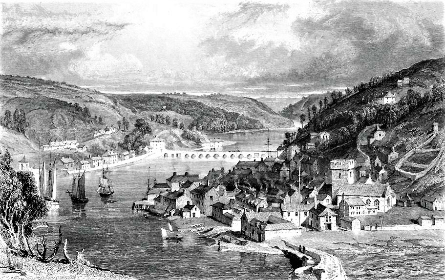
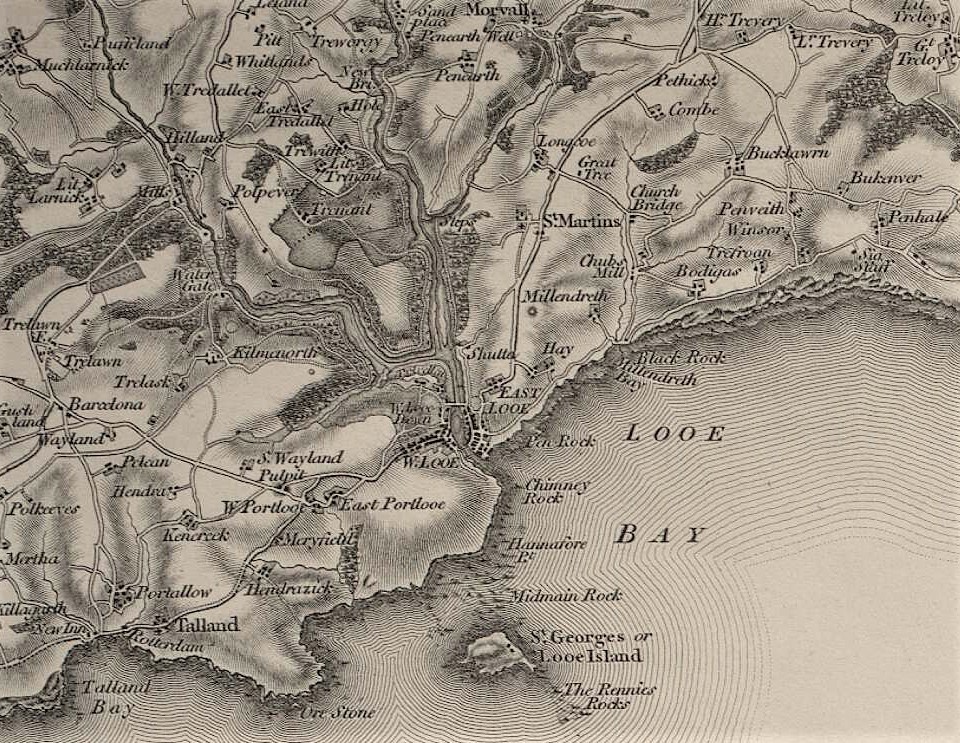
The origins of East and West Looe as coastal maritime settlements differ greatly from Liskeard’s as the principle market town of southeast Cornwall. The town is split by the Looe River, which from the slender estuary splits into the West Looe and East Looe Rivers, both narrowing substantially beyond the tidal reach. East Looe not actually mentioned in Domesday was however linked with the Manor of Pendrim and held by William I himself. The settlement would by 1220 be known as Loo and by the early 16th century mentioned as Estlo. West Looe a smaller settlement was known in earlier times as Porbuan or Portbyghan. The larger East Looe as a borough was first mentioned in 1201 and between 1154 and 1189 had acquired a market and fair, these being granted by Henry II to Henry de Bodrugan. It was taxed as a borough from 1306 and received a charter in 1320. East Looe was mentioned and recorded by many early visitors and antiquarians travelling around Cornwall such as Leland, and William Camden, who seems to have mixed up the two settlements. It was also written about by some of our ‘friends’ from the 17th and 18th centuries, who we have been following in these articles; Celia Fiennes spoke of it as a pretty big seaport, and this was confirmed by Daniel Defoe on a later visit. West Looe was mentioned as being represented by a jury in 1201. It had its status as a free borough, granted by Odo de Treverbyn, confirmed by charter in 1243 and a Royal charter in 1324. That the twin towns had an important maritime beginning, continuing over a long period, was confirmed with them providing a total of 20 vessels and 315 sailors for the siege of Calais in 1347. Commencing in 1411 the two settlements were to be joined by a fine bridge completed in 1436. This lay some 100 yards downstream of the current bridge which replaced the earlier one in 1853.
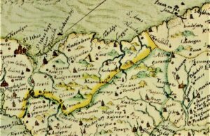
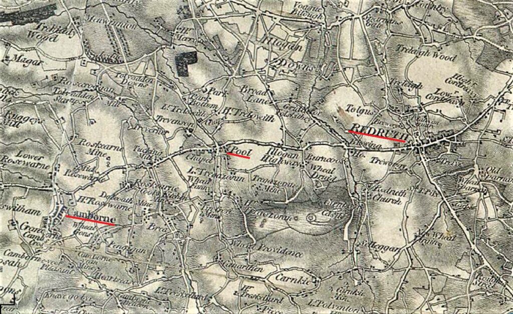
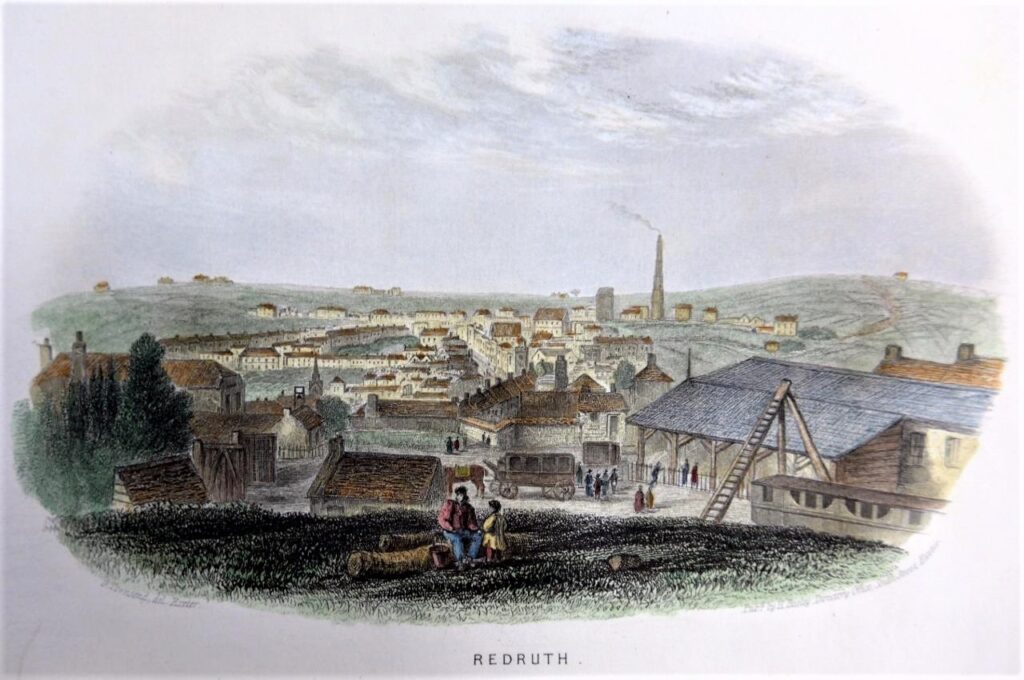
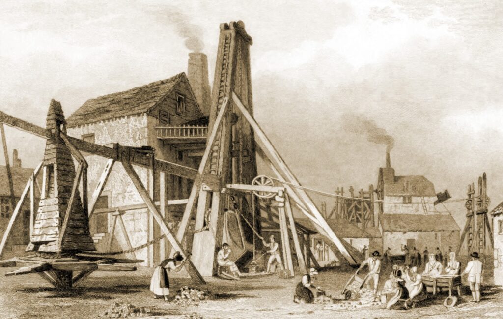
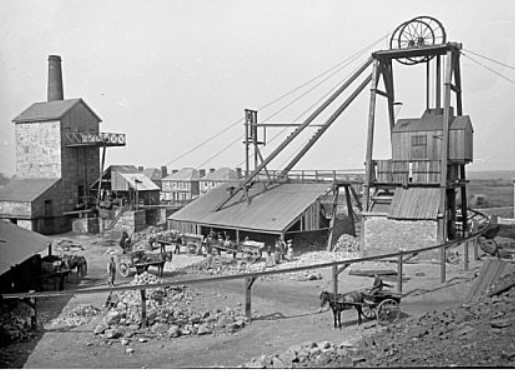
We now move westward to Redruth, one of Cornwall’s major towns. There is much evidence of early habitation in this area, including the large hillfort at Carn Brea, with a small settlement growing up around the church of St Euny, possibly an early Christian lann site. By the 14th century Redruth had become established nearby at a fording point of the Red River and a crossing point north-south and east-west across Cornwall. These were common reasons for larger settlements to become established and often took in other habitation elements. Redruth grew from this early thoroughfare-based village to become a market town with its early market and fair charters dating to 1333 due to its strategic position. It was however the growth in mining that led to increases in population numbers and by the 16th century mining along with processing had become a major industry. John Norden on his travels in the 1580’s passed through this area and commented on Redruth, ‘a hamlet annexed to vni-redruth, where are manie tynn workes, both Stream and lode workes’ . By the early part of the 18th century Redruth was central to one of the richest mining areas in Britain and along with Camborne recognised as the heart of industrialised mining in Cornwall.
There is evidence of early Romano-Celtic and Christian settlement around Camborne, but first mention of the church and surrounding village dates to 1181. The agricultural land surrounding early Camborne was described unflatteringly by John Norden ‘A Churche standinge among the barrayne hills’. Gradually Camborne developed, benefiting from being surrounded later manorial holdings and central for outlying hamlets having established routes there. The 17th century saw Camborne as a central market area and by 1708 it was holding three fairs a year. Although there had been some tin mining as early as the 15th century Camborne was a little late to the mining boom that saw the expansion of its nearby neighbour Redruth. It was the exploitation and deeper mining of copper that by the 18th century recognised the Camborne mines as the major producers in Cornwall. Here one of the greatest Cornish copper mines, Dolcoath known affectionately as The Queen of Cornish Mines, eventually saw its depth reach 3,300 feet.
Situated between Camborne and Redruth, it was copper that saw Pool established as a nucleated settlement around crossroads surrounded by mines. Outside this area was a mixture of farms and smallholdings. Although like Camborne there had been tin mining during medieval times it was the coming of industrialisation and improvements in engineering that stimulated the extraction of copper from ever deeper mines. By the 1720’s Pool Mine was recorded as being one of the three most important copper mines in Cornwall. This led to Pool becoming a flourishing village with many local amenities and would later become a centre for engineering that included many famous connected people and families.
All of these five towns have rich histories as do many of their surrounding villages and hamlets. They all have buildings and features as well as people who have contributed greatly to their respective towns, as well as to Cornwall and often the world. Over the coming months these will be shared as part of ongoing stories from early travellers around Cornwall as well as focusing articles on individual topics and themes.
Within the new areas being covered there are least four major ‘Kernow Goth’ or better known by their anglicised name of ‘Old Cornwall’ societies. Redruth, Camborne, Looe and Liskeard have all made important contributions towards the preservation of Cornish heritage over the past 100 years and we will be including their work as well as those of a total of over 40 societies throughout Cornwall within later articles.
![[84] Voice - Ertach Kernow - 02.02.22A Spreading Wings [S] Ertach Kernow - Spreading Wings](https://www.cornwallheritage.com/wp-content/uploads/2022/02/84-Voice-Ertach-Kernow-02.02.22A-Spreading-Wings-S-227x300.jpg)
![[84] Voice - Ertach Kernow - 02.02.22B Spreading Wings [S] Ertach Kernow - Spreading Wings](https://www.cornwallheritage.com/wp-content/uploads/2022/02/84-Voice-Ertach-Kernow-02.02.22B-Spreading-Wings-S-225x300.jpg)
![[84] Ertach Kernow Heritage Column - 02 February 2022 - New heritage initiatives Ertach Kernow Heritage Column - 26 January 2022 - Heritage in the news](https://www.cornwallheritage.com/wp-content/uploads/2022/02/84-Ertach-Kernow-Heritage-Column-02-February-2022-New-heritage-initiatives-283x300.jpg)