Ertach Kernow - Cornwall's River Camel aspects of its history
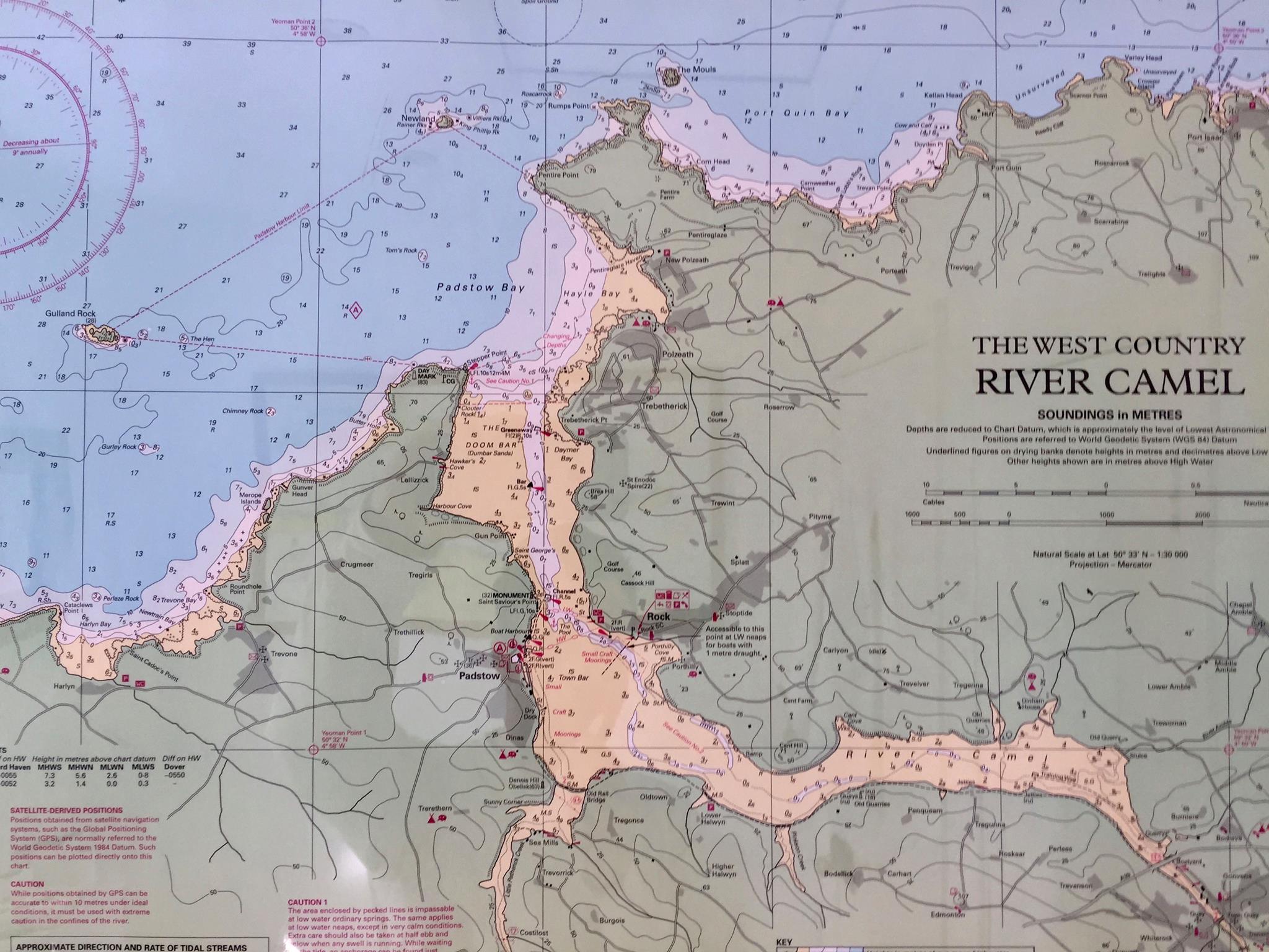
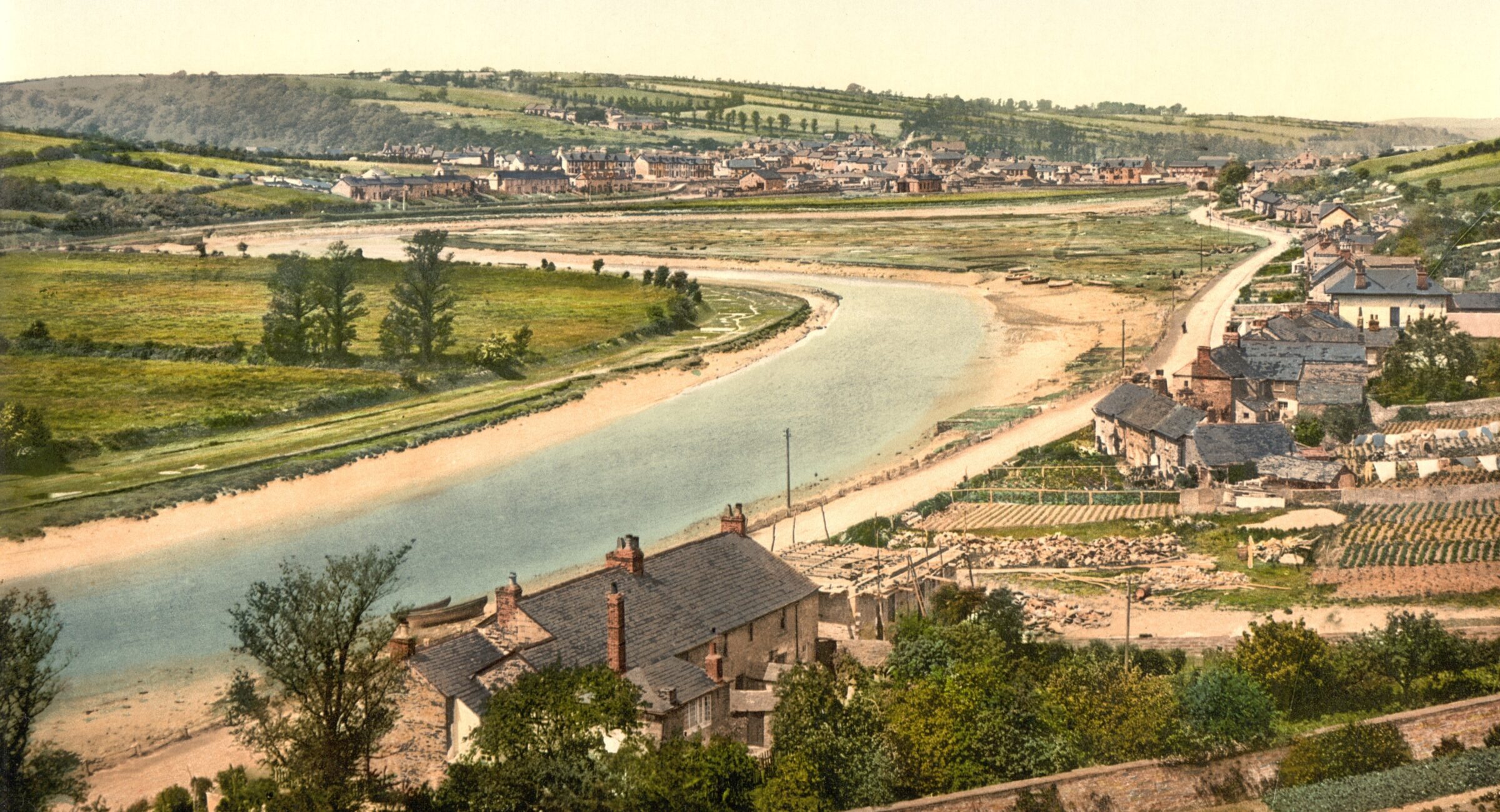
Cornwall's River Camel flowing along the North Cornish coast differs from the south as the spinal column of Cornwall lies to the north leading most rivers to flow south. Unlike the south coast river estuaries at Carrick Roads, Fowey and the Tamar the only one of any consequence flowing north is the Camel, which supplemented by smaller tributaries exits at Padstow. This has creating a harbour for shipping and allowed for historic river transport to Wadebridge. However, access to Padstow’s harbour and the Camel does have its issues in the form of the legendary Doom Bar. Its said to have been created by a mermaid as a dying curse and has overtime been the cause of several wrecks.
We are again indebted to Dr William Borlase for his references to the Camel in 1758. ‘We proceed next to the greatest River on the North of Cornwall, at present commonly called the Camel (that is, the crooked River), from the many turnings in its course, especially from the (harp angle it makes near Bodman, where, from a South South West course of twelve miles or more, it bears for the Sea North North West. It was also called in Leland's time' Dunmere ; that is, the Water of the Hills ; and the bridge over it, near Bodman, is still called Dunmere Bridge. It was also "called Cablan in some histories;" but this is only a contraction of Cabm Alan, that is, the crooked Alan; (not Camblan, as in Camden h,) the b being inserted before the in by the Cornish idiom; for Alan is indeed the proper name. This River rises about two miles North of the borough of Camelford, where its banks are famous for two considerable battles; the first is in which King Arthur receives his mortal wound:’
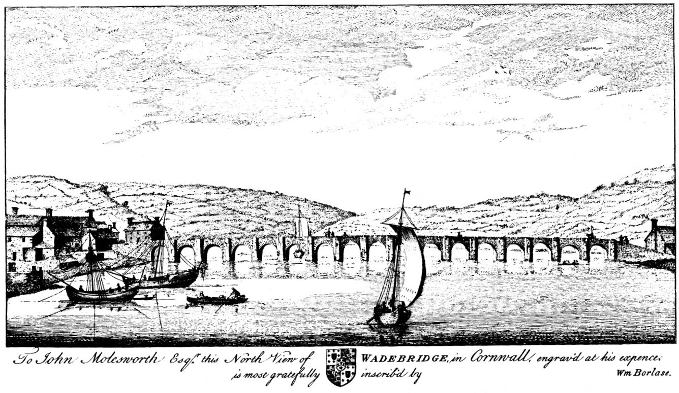
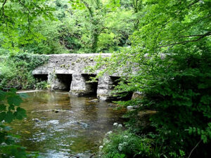
Borlase goes on to describe the bridge at Wadebridge to be the greatest bridge in Cornwall, built about 1460. A great accomplishment at the time with its 17 arches. He also tells that vessels of up to 60 tons bringing coal from Wales as well as lime, timber and groceries from Bristol. Incidentally, Wikipedia tells us the River Allen is called so due to an error on the Ordnance Survey map of 1888 replacing the name Layne with Allen. They correctly say that it was the old name for the lower River Camel, but as we can see from Borlase writing in 1758, he calls it the Alan some 130 year previously, albeit the spelling differs.
During the 19th century it was seen as a great advantage when selling land to say that it was close to the River Camel. This allowed the transportation of sea sand known in those days as manure from abundant sources available at Wadebridge from high quality lime rich sand in the Camel estuary.
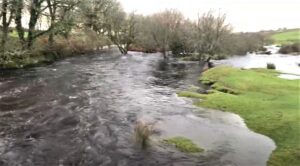
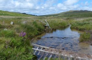
Here we take a brief look at the upper reaches of the Camel and an occurrence on what many would consider a relatively benign river in 1847. The River Camel itself rises high on Bodmin Moor and is the second longest river wholly in Cornwall, running for 30 miles. Much of this is in steep sided valley and this can cause water to rise very quickly during periods of sudden heavy rainfall. Many of us will remember well the rainfall in 2004 causing the small River Valency that runs through Boscastle turning into a raging flood that did huge damage to the village. The Bodmin Moor catchment area allows for increased flooding and during the 19th century long before the dangers of climate change set in the River Camel would turn into a boiling torrent.
On Thursday 8th July 1847 reports that ‘the most awful and destructive thunderstorms known in Cornwall for many years’ took place. A terrible coincidence that it was the same week that a deluge the previous year caused death and destruction at the East Wheal Rose Mine. Although 1847 saw no human deaths, many close shaves were reported, along with a large number of farm animals that were drowned and living ones carried a great distance. Camelford was badly affected and all the bridges between it and Wadebridge were either swept away or severely damaged. The new railway bridge between Bodmin and Wadebridge was destroyed and would take several months to replace. Along with bridges many houses and farm buildings were washed away and the landlord of the Wenford public house saved his property by opening all the doors and allowing the water to run through. The 15th century bridge at Wadebridge held, as the water went around both ends of the bridge relieving the pressure. There were many acts of foresight and heroism reported that saved lives, animals and property.
It was reported that a similar event had happened 50 years previously, but to a far lesser extent. There followed over the next decade three further heavy flooding incidents along the Camel, but none to the extent of 1847. Average rainfall in September for Bodmin is around 3 inches, but in 1885 it was recorded to 18th September at 6.39 inches and on 11th September 1885 in 12 hours 3.13 inches fell. Once again the River Camel breached its banks and caused flooding.
The River Camel has seen many people drowned not through shipping accidents, wrecks or storms, but through leisurely pursuits. This has ranged from young boys to mature women and soldiers, but possibly the most well-known family to lose a person to drowning in the Camel was the Norway family. Following the notorious murder of Neville Norway in 1840, his youngest son Joseph drowned aged just 17 in 1854. People have perhaps read books by well-known author Neville Shute, whose surname is Norway a descendant of this family.
By the end of the 19th century a major problem along the River Camel was that of sewage and waste. The means of disposal were fairly primitive and over a number of years action was discussed and plans implemented. By 1893 there was a growing outcry and reports by the various officers throughout Cornwall on the state of the sanitary defects throughout Cornwall in 1898 showed substantial defects. Many of these were subsequently rectified, but even recently river pollution remains an issue in Cornwall.
The River Camel is known today as a river with good fishing for trout and salmon, although perhaps not as well stocked as in the past. Certainly, there was great interest in fishing stocks throughout the 19th century including vigorous prosecution for poaching. Care has been taken to help preserve and increase this aspect of the rivers availability to anglers over a long period, more recently from an ecological and environmental point of view. In 1805 there were reports that salmon were so prolific that even the rivulets feeding the river were swarming with fish.
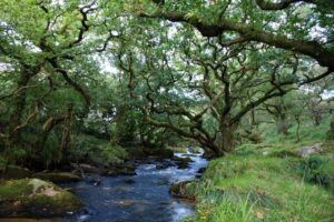
Rising near Higher Pendavey the River Allen flows through a lovely, wooded valley running for a while, adjacent to the A39 Atlantic Highway. The Allen joins the River Camel at Sladesbridge and as Dr Borlase says gave its name to the larger Camel in bygone days. Besides the River Allen the Camel is joined by the De Lank River which springs from the marshland between Bronn Wenneli and Torr Garow the highest peaks on Bodmin Moor. This river runs for nine miles and is an important wildlife habitat for flora and fauna including otters which are seen at times along its whole length. The Camel Special Area of Conservation and Site of Special Scientific Interest also cover the De Lank River.
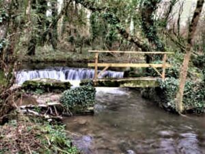
Today the life of these rivers in the post-industrial world is seeing many obsolete structures are being removed to allow the environment and ecology of these rivers to be restored. This includes weirs and gauging stations that act as a barrier to migrating fish. Cutting off fish living in the upper reaches of rivers can lead to inbreeding and allowing fish returning from the sea and lower river reaches allows for better fish stock along the whole length of the rivers.
The lower part of the river between Wadebridge and Padstow and for Padstow itself was commercially important to both towns for hundreds of years and this aspect will be shared in due course as we look at those towns.
![[57] Voice - Ertach Kernow- 280721A River Journeys [S] Ertach Kernow - River Journeys - The River Camel](https://www.cornwallheritage.com/wp-content/uploads/2021/07/57-Voice-Ertach-Kernow-280721A-River-Journeys-S-233x300.jpg)
![[57] Voice - Ertach Kernow- 280721B River Journeys [S] Ertach Kernow - River Journeys - The River Camel](https://www.cornwallheritage.com/wp-content/uploads/2021/07/57-Voice-Ertach-Kernow-280721B-River-Journeys-S-230x300.jpg)