Ertach Kernow - Stratton Taxing Times for Cornwall's historic hundreds
Stratton - Cornwall had six administrative boroughs formed in 1974 as a result of the Local Government Act of 1972. These in turn were swept away in 2009 with new local government changes, creating a Cornwall wide unitary authority. For those interested in Cornwall’s past including social history, such as administration of the poor laws, some interest must be taken in the organisation and administration of Cornwall from pre-conquest times and how it evolved.
Benjamin Franklin is known for many things including the well-known saying that ‘in this world, nothing is certain except death and taxes’. Administration of Cornwall as with most places was based on the need to raise taxes. For many centuries local administration had been carried out through the segregation of Cornwall into hundreds. At the time of the Geld Rolls, which came into being during the reign of King Æthelred II of England, in 1083 Cornwall was split into seven hundreds. These could be identified by the names of the chief manors within each hundred although the actual hundreds are not in fact named. The Geld Rolls related to a tax that was being raised originally to pay off the Danes from their ‘Viking’ coastal raids. However, the early Norman kings of England used this means of taxation until the time of Henry II in 1162.
The Domesday Book compiled under the instructions of William I in 1087 implied that there were still seven hundreds based around the paramount manors that provided their names at the time. It was the manors that William I was most interested in as this is where his primary taxation and income would fall. Domesday made no mention of parishes, which in time would provide the church with their ecclesiastical taxes. Parishes first came into being in England during the 7th century based around townships. Completion of Parish organisation seems to have taken place during the fifty-year reign of King Edward III up to 1377. His reign also saw the creation of the Duchy of Cornwall with the first Duke, Edward the Black Prince in 1337. Parishes gradually took over many of roles of hundreds and manorial administration. Hundreds as administrative units were abandoned with the formation of districts in 1894.
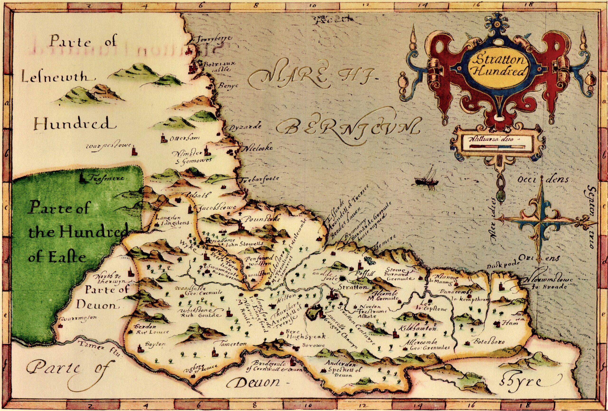
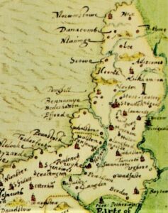
Following his tour of Cornwall around 1597 John Norden mapped out the nine Cornish hundreds along with their settlements. The names and areas covered were now very different from those first indicated in the Geld Rolls five hundred years previously.
Dr William Borlase the 18th century Cornish antiquarian seems to have tried to make sense of it, writing that he did not consider it easy to discover the limits of the ancient divisions, or to reconcile them with the present. "Conarton it may be asserted with great probability, included the present hundred of Penwith; for the lord of the manor of Conarton has been lord also of all the hundred of Penwith from the time of Henry III.; among the rest there is not the like connexion, but what was anciently called Tibesta, included, as I imagine, the hundred of Poudre; Winnenton, Kerrier; Stratton, formerly extensive, makes at present the three small hundreds of Stratton, Lesnewth, and Trigg; Fawiton contained the hundred of East, as I suppose, and the southern part of West hundred; Rialton most part of Pidre; and Pauton the rest of Pidre, and the hundred of West."
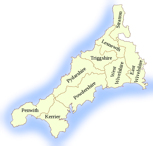
The nine Cornish hundreds lasted into the 19th century and are now known as follows. Penwith, Kerrier, Pydar, Powder, Trigg, Lesnewth, Stratton, East, and West. Very often today these names are remembered in place and street names, for example St Mawgan in Pydar and Pydar Close in Newquay and Pydar Street in Truro. Further research was carried out by Reverend John Carne and shared in his presentation to the Royal Institution of Cornwall in 1865. This provided added information of whom owned the paramount manors that gave the names at that time to the hundreds
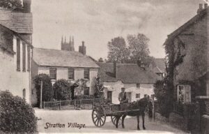
Considering firstly Stratton, it was the only hundred to retain its historic pre-Domesday name. Indication it was named after a manor located around the current town, which was lost and renamed. Domesday in referring to ‘in hundreto Stratone’ encompasses the whole area of the subsequent Trigg hundred from the Devon border to the Camel estuary. As Borlase mentioned Stratton seems to have split, becoming less extensive as the seven hundreds became nine and their territories were redrawn somewhere it’s believed during the 12th century.
Looking at where the name Stratton originated its earliest spelling was the Cornish Straetneat in the 9th century. The river on which Stratton stands is the Neth or Neet often called locally today the Strat. This perhaps to differentiate it from the lower river, which it joins around Marhamchurch, then flowing to the sea at Bude. The meaning behind this Cornish name is ‘flat bottomed valley of the river Neth’ (Weatherhill). Stratton’s close proximity to the border led to certain Saxon influences on names leading in this case to the addition of tun. This is a common Saxon word in countless place names in England meaning fenced area or enclosure. So over time Straetneat-tun evolved over time to Stratton.
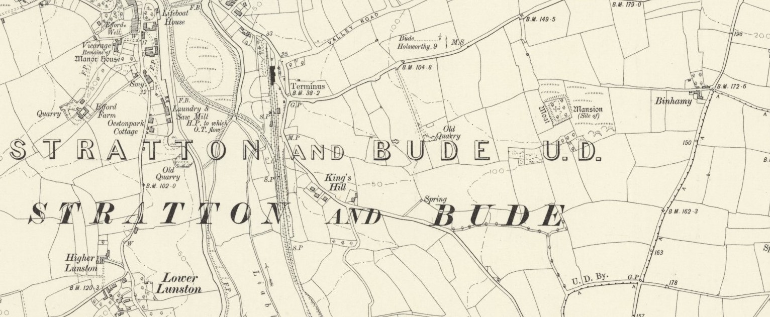
By the 17th century Barnard Greynfield Esquire owned the manor of Stratton and Benemy which included a greater part of the town of Stratton although there was another manor in the name of Stratton Sanctuary Manor owned by the king. It is somewhat speculative to understand where the chief manors were at the time the hundreds were established and named. Not far from Stratton was a manor with a fortified crenelated manor house built by Sir Ranulph Blanchminster. Evidence of this is found in the Patent Rolls of Edward III dated 30th January 1335 where he was granted ‘Licence for Runulph de Blankmonster to crenellate his dwelling-place of Biename, Cornwall’ (translation). Permission to fortify or crenulate your property was required from the king at that time. Sir Ranulph seems to have been an important person and landholder in Cornwall and through marriage in Scilly. The linking of Stratton with Benemy as a manor albeit in the early 17th century with the Blanchminster family in the 14th possibly illustrated that this was the location of the manor after which the hundred was named.
According to research by Dr Sam Drake evidence for only six applications for crenelations survive in Cornwall, one being Binhamy as it’s now spelt, suggesting its importance within Cornwall. Research by Örjan Svensson published by Lund University in Sweden suggests that again the name infers Saxon origins with Ham, meaning village or estate.
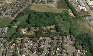
What remains of Sir Ranulph’s crenelated house are deep moats now overgrown by trees and forming a habitat for animals and birds. Over the past twenty years the scheduled monument site at Binhamy has gradually been encroached upon by developers as Bude and Stratton become slowly joined by housing development. One can only hope that this site of historic and environmental interest remains protected. Although not particularly well known outside the local area its potential links to the history of the area and Cornwall should be appreciated.
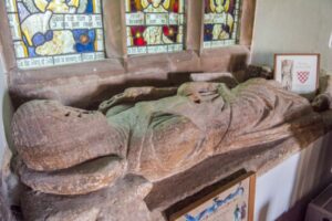
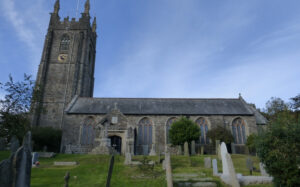
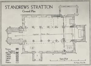
The name of the Blanchminsters lives on in the Blanchminster Trust one of the world’s oldest charities established in the 15th century. Sir Ranulph also left money in his will after his death in 1348 to build the north aisle of St Andrews Church. This gift built a beautiful arcade made of Polyphant stone and is the oldest part of the building.
The remainder of the later Stratton hundred consisted of a number of smaller manors and settlements. Bude in time would grow to exceed the size of Stratton and it’s now just a short while until both these towns ancient and modern merge physically into one as well as administratively. We will look at other historic Cornish hundreds over the coming months.

![[55] Voice - Ertach Kernow- 140721A Taxing Times Cornwall's Hundreds [S] Ertach Kernow- Taxing Times Cornwall's Hundreds 'Stratton'](https://www.cornwallheritage.com/wp-content/uploads/2021/07/55-Voice-Ertach-Kernow-140721A-Taxing-Times-Cornwalls-Hundreds-S-231x300.jpg)
![[55] Voice - Ertach Kernow- 140721B Taxing Times Cornwall's Hundreds [S] Ertach Kernow- Taxing Times Cornwall's Hundreds 'Stratton'](https://www.cornwallheritage.com/wp-content/uploads/2021/07/55-Voice-Ertach-Kernow-140721B-Taxing-Times-Cornwalls-Hundreds-S-231x300.jpg)