Ertach Kernow - Coverack to Porthoustock
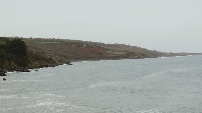
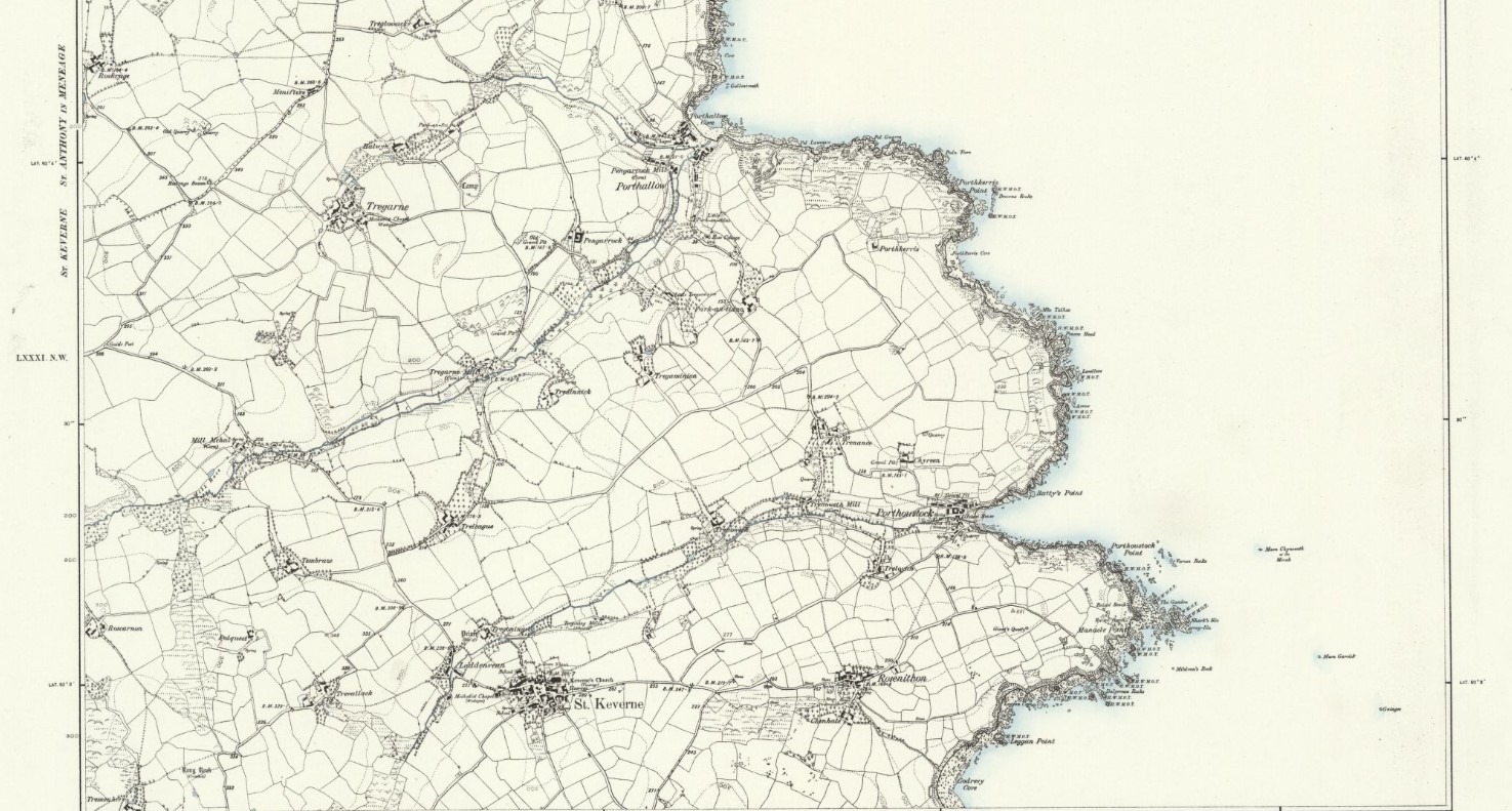
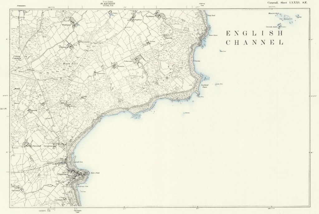
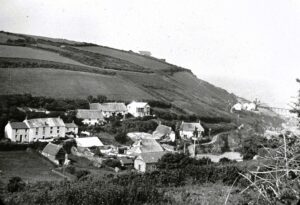
Coverack and Porthoustock are small villages on the eastern coastline of the Lizard Peninsula with the larger village of St Kevern lying roughly halfway in between and a short distance inland. The whole area lies within one of Cornwall twelve Areas of Outstanding Natural Beauty. There are a number of features dating from prehistoric times through to modern World War II defences recorded between the two coastal settlements. Many of these still remain as well as numerous wrecks submerged offshore.
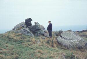
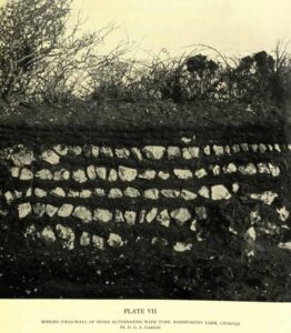
Between Coverack and Porthoustock, now inland from Manacle Point where it had stood for thousands of years, is what is known as the Giants Quoits. This was originally thought to be possibly Neolithic tomb by O G S Crawford the archaeologist and pioneer aerial photographer, but now understood to be a natural rock formation. It was moved from its original location in 1966 due to quarrying and re-erected in its current position towards the coast, but between Rosenithon and Porthoustock. Crawford may have got his identification of the Giants Quoits wrong, but he was quite right in his description of Cornish stone hedges saying, ‘of their kind there are few things more beautiful than the field walls in a stony country.’ He continues later ‘…by way of compensation, hundreds of miles of most enchanting field-walls in Cornwall alone. I began my study of them without fully realizing their aesthetic qualities; when my eyes were opened I found it difficult to look at anything else.’ Crawfords 1936 article ‘The Work of Giants’ in Cornwall recently republished by Cambridge University Press concludes with ‘The work of giants in the west is done for ever, but the hedges remain, more beautiful than their makers were.’ Nicely appreciated OGS.
Most of the area is included within Sites of Special Scientific Interest (SSSI) and amongst the small percentage in Cornwall noted for both its biological and geological characteristics. This 429-acre site lying between Coverack and Porthoustock and within St Kevern Parish includes four Red Data Book plant species. The Red Date Book is the inventory of the global conservation status of biological species and the species named are Cornish heath (Erica vagans), dwarf rush (Juncus capitatus) and twin-headed clover (Trifolium bocconei) with the nationally scarce autumn squill (Scilla autumnalis). From a historic perspective there is also the 2nd-century, Romano-British Trebarveth saltworks which produced salt which was packed into pots made from clay weathered from the local gabbro rock.
The area is well documented for ancient prehistoric barrows and other features, albeit not of any great importance as can be found elsewhere in Cornwall. At Crousa Common can be found a pair of standing stones dating to between the Neolithic and Bronze ages. Close by there is a legendary stone known as the Tide Rock the story says that the rock has a small pool at the top and as the tide comes in and out so the water in the pool increases or diminishes. Something to seek out for myself during my next visit perhaps.
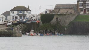
Coverack itself is a village with an estimated population of about 800 within the parish of St Keverne containing some 2074 people at the last census in 2021. It grew from a traditional fishing village and like many coastal communities relied heavily on the pilchards caught by seine fishing, which in due course collapsed when the fish no longer came in such vast numbers. Today fishing has moved on to include crabs and lobsters with fishing no longer a major source of employment in the area.
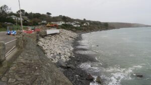
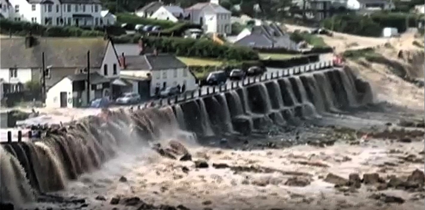
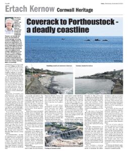
In July 2017 a flash flood did huge amounts of damage to Coverack with four inches of rain falling in just three hours. The stream that runs alongside the road down to the beach became a raging torrent overtaking and ripping up the road and flooding houses. Besides destruction to roads the sea defences were also badly affected by water flowing over the wall and erosion has since been exacerbated by further action of winter storms. A massive project covering some 90 metres to prevent erosion by the sea and hopefully future weather-related events is well underway. This includes a sloping structure, known as a revetment, to dissipate the effect of waves as well as a 50-metre shoreline retaining wall between Coverack Cove and Dolor Point. This involves placing and securing thousands of tons of granite boulders, which work is continuing at the moment.
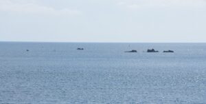
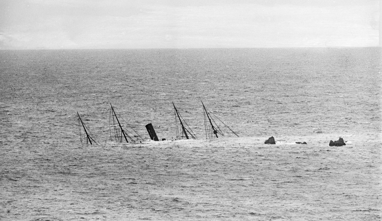
No account of this area of coastline could be complete without mention of the wrecks and losses of life at sea over at least the past two hundred years. Off the shore lie the Manacles a treacherous set of rocks lying about one nautical mile from Manicle Point. This set of rocks with its sinister reputation stretches out nearly one and a half miles into the sea, where lying mostly submerged they wait to cause the demise of many vessels. So many in fact that a whole article would be needed just to summarise the vessels and over one thousand souls recorded as drowned on these and nearby rocks. St Keverne old church registers records the sinking of the transport vessel Dispatch. ’January 22nd, 1809. On Sunday morning about half past three o'clock the "Dispatch" Transport (George Fenwick, Master) having three Officers and seventy men of the 7th, Light Dragoons (on her way from Corunna in Spain) was driven on the rocks near Coverack, and all on board perished except seven private Dragoons. The three unfortunate Officers who had survived a disastrous campaign to perish on the English Shore were, Major Cavendish. Captain Duckinfield, and Lieutenant Waldegrave.’ But the day had hardly begun when the register records a further disaster ‘On the same morning about 5 o'clock the Brig of War "Primrose" (James Mein, Esq, Commander) was wrecked on the Manacle rocks. Her complement of Officers and Men consisted of 120 besides six passengers, only one poor lad was preserved from the dreadful catastrophe.’ For nearly 50 years there were only a smattering of burials from drowned sailors mentioned in the register. It seems many wrecks and loss of life had gone unrecorded as not every person drowned had been cast up on the shoreline between Coverack and Porthoustock to be buried at St Kevern churchyard. On 3rd May 1855 the barque ‘John’ was wrecked and with it 194 persons were lost. But for the bravery of the fishermen of Porthoustock who risked their lives in poor conditions the toll would have been far grimmer and about 93 lives were saved. Of those drowned 120 are buried in St Keverne churchyard. 1869 saw the ‘Aurora’ steam onto the Manacles becoming a total wreck. Perhaps one of the most famous was the loss of the SS Mohegan on 14 October 1898, a new vessel having only completed her maiden voyage in July of that year. Signals from the coastguard were not seen or understood and the vessel struck Vase Rock at full speed of 13 knots, then drifted onto the Maen Varses reef sinking within 12 minutes. The Porthoustock lifeboat was launched and saved 44 people but 106 were drowned including the captain and all the officers.
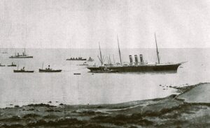
Despite the tolling bell on the marker buoy and the masts of the Mohegan still standing clear of the sea another vessel was made famous by going aground on the Manacles, the American Line passenger liner SS Paris only a year after the Mohegan disaster. However, this 10,669-ton vessel was fortunate and was not a loss, with no persons drowned. She remained on the rocks from her grounding in May 1899 through to July when she was refloated and rebuilt and renamed Philadelphia being back in service in August 1901. Outlasting World War I this lucky survivor of the deadly Manacles was scrapped in 1923.
This situation led to local people demanding a lifeboat for Coverack. The first named Constance Melanie was in commission for 33 years and saved 94 lives including 28 from the German sailing vessel Pindos in 1912. This oar and sail lifeboat was replaced by The Three Sisters in 1934 and she was in turn replaced by the last Coverack all weather lifeboat William Taylor of Oldham in 1954. After eighteen years of service this last vessel was replaced by a D class inflatable in 1972 until the station closed in 1978.
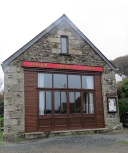
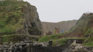
A short way up the coast is Porthoustock a smaller village than Coverack and also primarily a fishing village until the 1890’s when demand for local stone led to quarrying there. A wharf was built to specifically load the stone and the quarry is still worked today. There are some attractive thatched cottages within the settlement, but the pebble beach has little to recommend it as a traditional tourist beach. The cove is dominated by a large concrete structure, which was built as a storage facility for quarried aggregates. Porthoustock received a lifeboat earlier than its neighbour at Coverack in 1868, perhaps due to its closer proximity to the Manicles, with a lifeboat house built close to the beach. Like many stations around the Cornish coast the larger lifeboats became less used as vessels became safer and navigation improved. The lifeboat station was closed in 1942. The wharf used today transfers the quarried dark green gabbro rock directly onto ships from the quarry site.
These two small settlements have seen some of the worst maritime tragedies just off their shoreline on the treacherous Manicles. The bravery of countless local fishermen and others who before the lifeboats used their own vessels and later manned those lifeboats and the coastguard rocket apparatus saved many lives. Their actions over the past centuries are a great credit to their communities.
![[179] Ertach Kernow Heritage Column - 29th November 2023 - Story telling, Natural earth art, Nos Lowen, Carnglaze Cavern Ertach Kernow Heritage Column - 29th November 2023 - Story telling, Natural earth art, Nos Lowen, Carnglaze Cavern](https://www.cornwallheritage.com/wp-content/uploads/2023/11/179-Ertach-Kernow-Heritage-Column-29th-November-2023-Story-telling-Natural-earth-art-Nos-Lowen-Carnglaze-Cavern-285x300.jpg)