Ertach Kernow - Bypassed but not forgotten
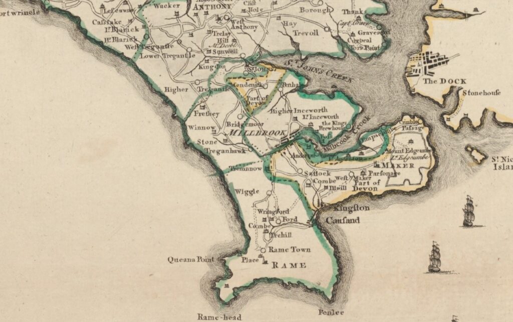
Cornwall’s Forgotten Corner including the Torpoint area and the Rame Peninsula is not really forgotten but just bypassed. The numbers of people that passed through this area of Cornwall since the completion of the Royal Albert railway bridge in 1859 and the Tamar Road Bridge in 1962 has reduced greatly. Many of the early tourists to Cornwall came via a ferry at Torpoint or lower down the Tamar Estuary at Cremyll. It was a good excuse to have a visit when we went as a family for my niece to collect an online marketplace purchase. The sun shone and an opportunity to reacquaint myself with some of this beautiful and historically interesting part of Cornwall.
Calling it a forgotten corner makes this area sound small, but it is quite extensive covering the ecclesiastical parishes of Antony, Maker, St John and Rame with Sheviock as the parish most connected to the remainder of Cornwall. Mostly rural the only town of any significance is Torpoint lying in Antony parish the remaining settlements consisting of Millbrook, named as the largest village in Cornwall, and a number of smaller villages and hamlets scattered throughout the peninsula. Too much to cover in one visit we checked in at the twin villages of Cawsand and Kingsand and the small village church at St Johns after which that parish is named.
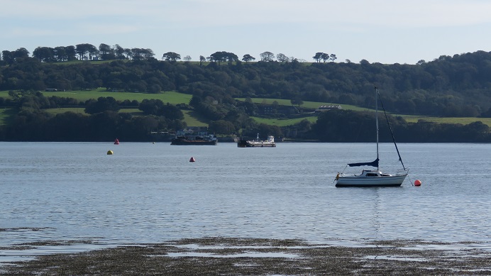
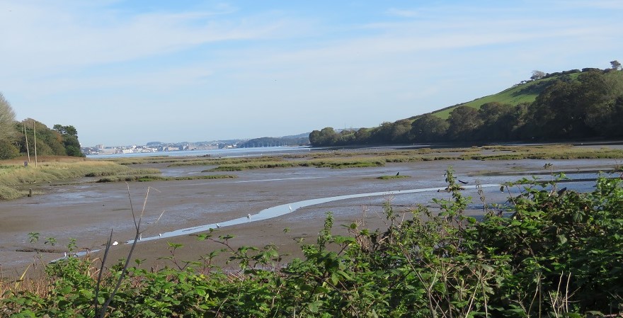
Our visit to collect an online purchase took us firstly to Torpoint at a house overlooking St John’s Lake, an area of water part of the larger River Tamar estuary also known as the Hamoaze. This estuarine stretch of the River Tamar lies between its confluence with the River Lynher and the mouth of the Tamar ending at Plymouth Sound. It’s always a great pleasure to meet interesting people on my travels around Cornwall and the house owners were such people. They had purchased their house from well-known Cornishman Dr Ken George, who would only sell what was his parent’s home to a Cornish family. This couple had extensive knowledge of the area and it was a pleasure to have a chat with them.
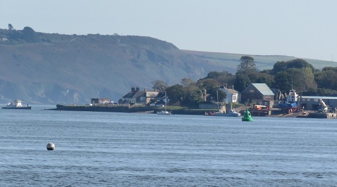
From there we could see the ferry at Cremyll. This crossing brough large numbers of travellers to Cornwall over the centuries including Celia Fiennes in 1698. It runs as a passenger and cyclist ferry taking just eight minutes to cross between Admirals Hard at Stonehouse in Plymouth and Cremyll Quay in Cornwall. This ancient ferry crossing was once owned by the Valletort family from the time of the Norman Conquest. This through their tenancy of the manor and castle at Trematon, which also included a ferry at Saltash. The historic manually propelled crossing is said to have taken thirty minutes until replaced by a steam launch in 1884, reducing the passage time to fifteen minutes. A more recent vessel makes this journey much more quickly and what wonderful and interesting views to enjoy whilst taking it.
St John’s Lake besides being an area for anchoring vessels and an especially delightful view when the tide is full in is also an important environment for birds and an area of Site of Special Scientific Interest. The waters and mudflats are a wintering area for waders and wildfowl and a stopover point for migrating bird populations. At low tide the exposed mudflats are rich in shell covered and other invertebrates providing a superb feeding habitat. For bird watchers the varieties seen here include Eurasian Curlew, Brent Goose, wintering populations of Black-tailed Godwit and Common Greenshank. Also, good numbers of Common Teal, Eurasian Wigeon, Little Grebe and Whimbrel, Common Shelduck, Common Redshank, Great Northern Diver, Long-tailed Duck and Dunlin.
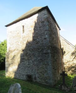
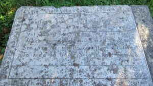
We stopped at the small church of St John, which is a strange little building with a low Norman tower. A church was established on this site was by 1080 with the current church built around 1150. Like many churches it was rebuilt during the 15th century and had restoration and rebuilding work carried out in 1749 and 1868. Of the original Norman church only the ‘dwarf’ tower remains and this E H Sedding tells us is the only part of any interest and standing just twenty-two feet high. This hold three bells the oldest of which was cast in 1664. There is also dated evidence that one of the large windows was replaced in 1851. Sadly, we were unable to look inside and I’m sure that there would have been something of interest to view despite the lack of appeal to authorities such as Sedding and Henderson. Fortunately, Historic England have this as a Grade I listed building. We found an interesting chest tomb in the grounds dedicated to Edmond Herring, which has recently been restored. Edmond died in 1712 aged nearly 84 and a poem is engraved on the monument ‘Four score years I lived and almost four, So long on me, death had no power, Yet now at length my thread is spun, Which ended well and well begun, See now ye mortals how it is our fate, To fade as flowers some soone some late’.
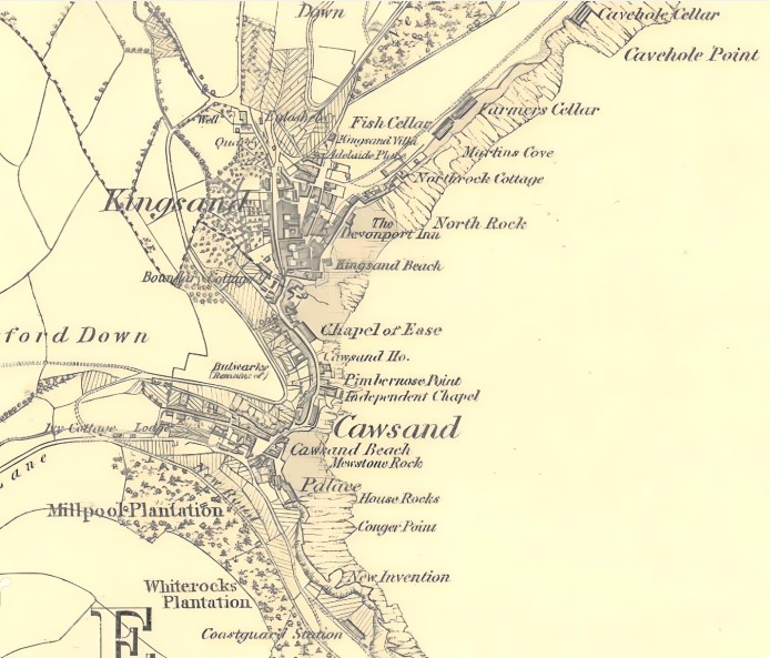
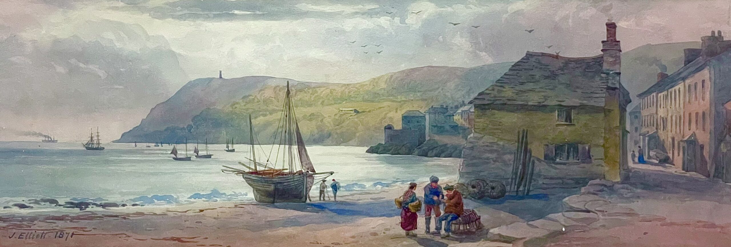
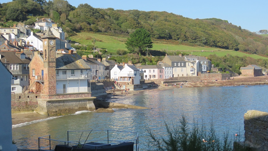
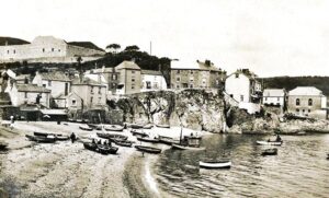
The twin villages of Cawsand and Kingsand is where Newquay’s first professional artist, James Elliott, spent time during the mid-19th century. He travelled around Cornwall painting and drawing, creating not just attractive artwork, but also a record of places that might not have been photographed. This was a chance to have a look at these villages and see if there was much from the 19th century still remaining. Happily, a considerable amount of the historic villages do survive with some 85 buildings Grade II listed, some dating as far back as the 17th century. Most of the historic part of these villages lie within a conservation zone and the whole of the coastal area for several miles inland from Mount Edgecumbe down to Rame Head are part of the Rame Area of Outstanding Natural Beauty. Sadly, too many are holiday homes and Airbnb’s, once again Cornish villages with young people frozen out of owning their own homes, often being unable to even afford to rent.
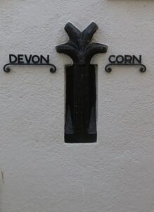
Perhaps one of the most recognisable buildings is the clock tower along the seafront of Kingsand. This was erected to commemorate the coronation of King George V in 1911 and is famous for being seen during storms lashed by ferocious waves. Badly damaged in 2014 it has since then been repaired. Cawsand and Kingsand have an interesting history, even though considered twin joined villages they were once in separate ecclesiastical parishes Rame and Maker. In 1941 these two parishes joined to form the new parish of Maker with Rame. Another historic anomaly is that although both on the Cornish side of the ancient River Tamar border that separates Cornwall from England, Kingsand was considered part of Devon albeit joined to Cawsand and completely surrounded by Cornwall. This was due it seems to an ancient historic agreement between King Geriant of Cornwall who in 705 gave a piece of land as part of a peace treaty to Sherborne Abbey ensuring some control of the Tamar mouth remained under Saxon control. There is a marking on a cottage wall showing where this border was, but since 1844 returned and back fully within Cornwall.
From medieval times Cawsand and Kingsand remained as small fishing hamlets mainly in the pilchard trade. During the late Tudor period there was an expansion throughout Cornwall in pilchard fishing and great interest by merchants from Plymouth in exploiting opportunities at Cawsand and Kingsand. The fishing industry continued into the 19th century and as with many Cornish fishing communities these two settlements agreed on one thing and that was smuggling. Despite the closeness of the Royal Navy at Plymouth, this was also a valuable source of customers for illicit goods, the villages became a hotbed of illegal activity during the period from the late 17th through to the mid-19th centuries. All of this lightly covered by an innocent blanket of fishing and boatbuilding. Other coastal fishing villages further down the south Cornish coast at places like Polperro during the late 18th century, where the notorious Zephaniah Job assumed the role as the Smugglers' Banker, were also operating cross channel smuggling activities to the Channel Islands and France.
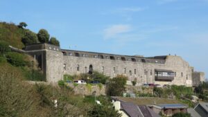
The need to protect this area from foreign incursion led to construction of Cawsand Fort in 1780 with further redevelopment in 1887. This has now been converted to residential use. Further inland on Forder Hill there are remains of defensive measures taken out due to a naval scare with France in the late 1850’s. This was part of the largest coastal defence construction since Henry VIII began building fortifications such as Pendennis and St Mawes Castles in the 16th century. Known collectively by the colloquial name ‘Palmerston’s Follies‘ there were seventy forts and batteries constructed around the coastal regions of England and Cornwall.
Close by is the Edgcumbe estate of 865 acres owned jointly between Cornwall Council and Plymouth City Council. Mount Edgcumbe House is the former home of the Earls of Mount Edgcumbe, as was Cotehele House and estate further up the Tamar Valley. The history of this estate and family is too extensive to cover here and will have to wait for a future visit.
I look forward to visiting again much sooner and checking out more of this bypassed but not forgotten area of Cornwall. Beautiful and with villages still retaining historic features and properties, fortunately much unruined by extensive and poor-quality development for a fast buck. Thankfully local conservation zones, Sites of Special Scientific Interest and lying within an Area of Outstanding Natural Beauty have done much to save this area.
![[174] Ertach Kernow Heritage Column - 25th October 2023 - Christmas purchases supporting Cornish heritage Ertach Kernow Heritage Column - 25th October 2023 - Christmas purchases supporting Cornish heritage](https://www.cornwallheritage.com/wp-content/uploads/2023/10/174-Ertach-Kernow-Heritage-Column-25th-October-2023-Christmas-purchases-supporting-Cornish-heritage-289x300.jpg)